Asset and Network Inventory
Where are my poles? How many and which types? What cables are attached? Is there space enough for my new fiber? Which lines connect to houses? What’s the quickest route to deploy fiber? How can I check 5G connectivity?
Do you recognize these questions? You’re not alone! We’ve seen that many telco operators have issues with their asset inventories.
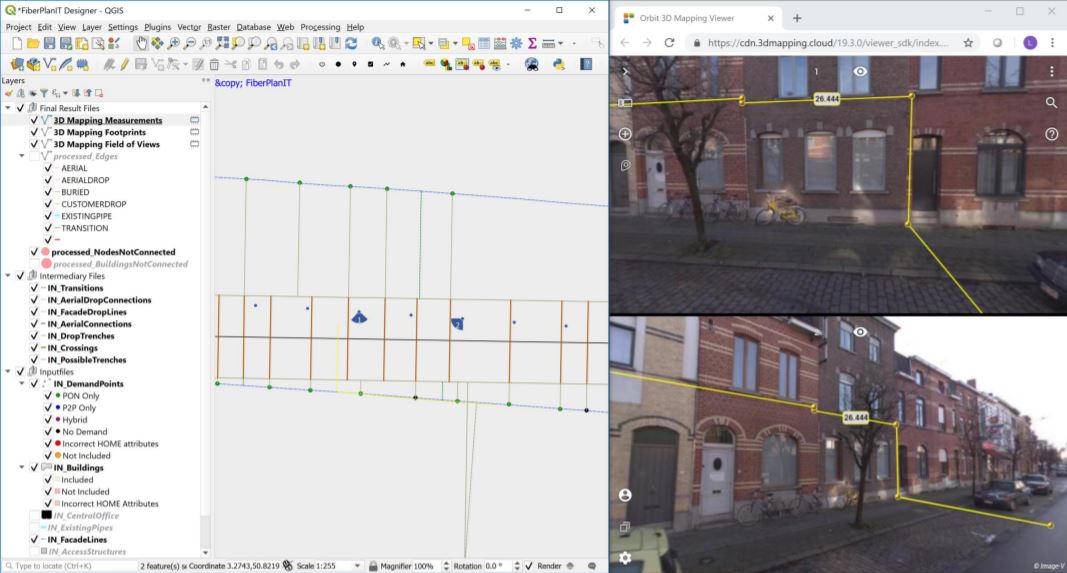
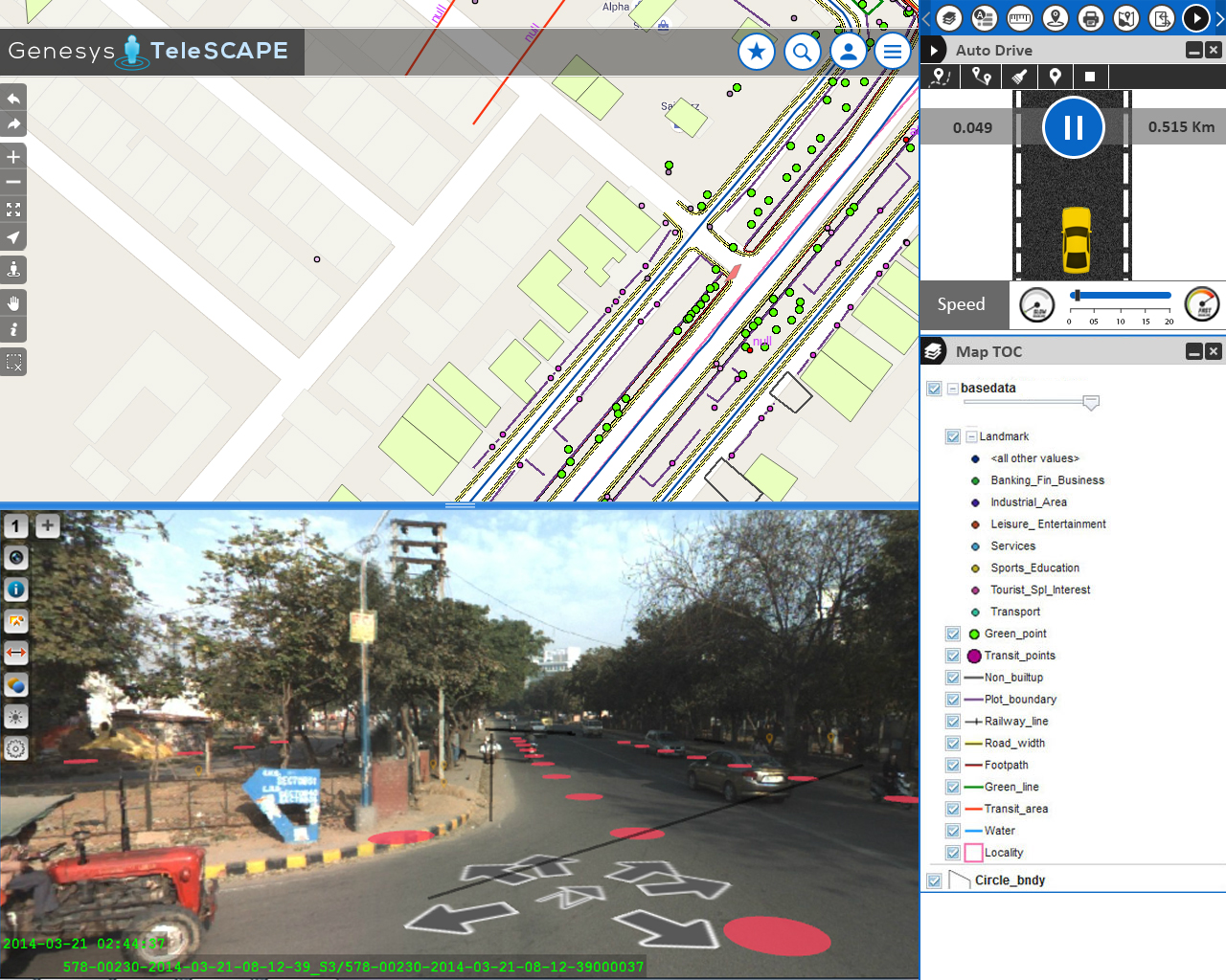
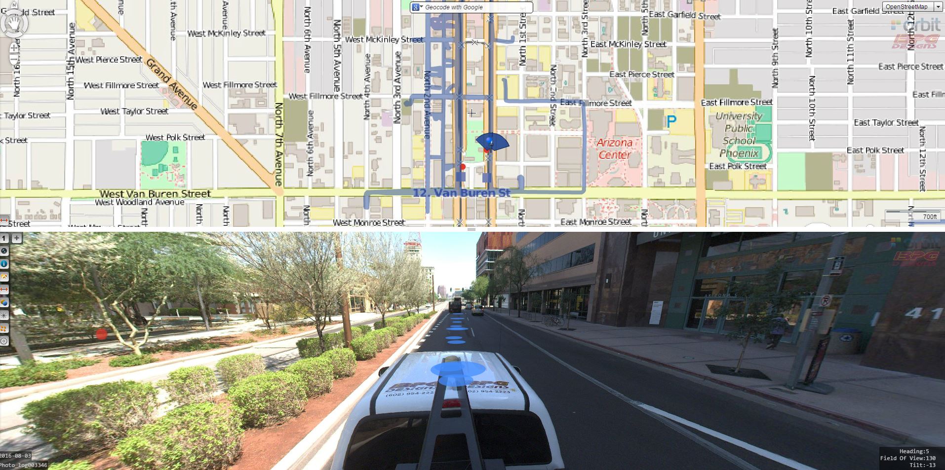
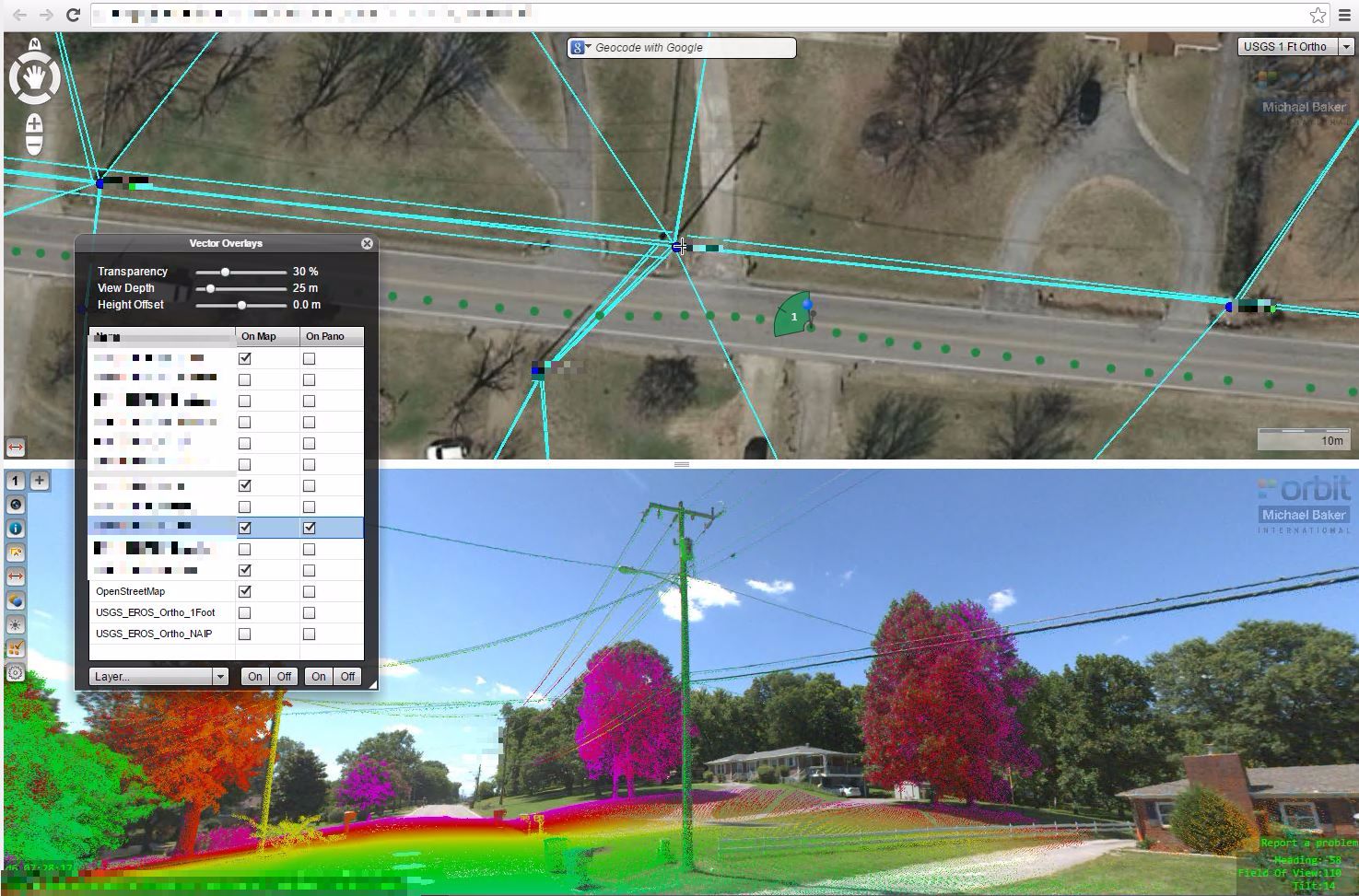
To address these issues, it is key to understand the situation on the spot. But site visits cost a lot of time and money, and aren’t efficient. So instead of leaving the office to visit the real world, let us 3D-capture the real world and bring it into our office. With such powerful information, we can assess any detail frmo any location in seconds. We add situational awareness to the mix of resources available at your fingertips. Every operator can now easily view and measure from the desktop as if they were on site.
Let’s use 3D Reality Capture and especially Mobile Mapping combined with proper data management and feature extraction workflows, to provide give fast and accurate answers to each of these challenges. At Orbit GT, we have helped many of our customers solve these problems using our standard offering supported by our specialized professional services. Results are a massive Return on Investment and gain in efficiency and reliability.
Increase your First-Time-Right to up to 80%
The telecommunications industry benefits greatly from 3D Mapping technologies. And let us explain why.
Representing reality in 3D boosts making the right decision to accomplish up to 80% First-Time-Right results. Now how can that be?
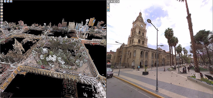
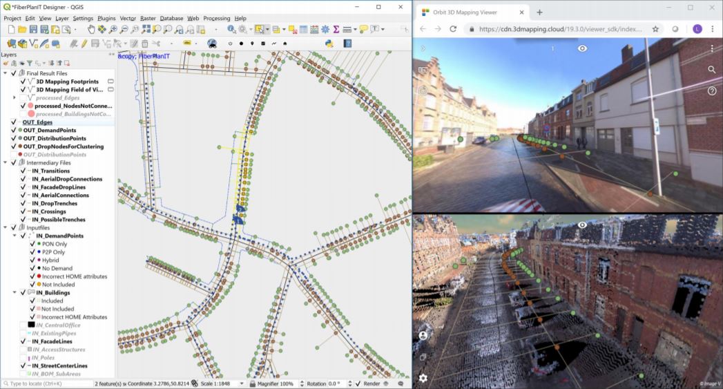
3D Reality Capture brings reality on your desktop. With a simple click, you can virtually visit any site with visual content (an image) as well as metric content (the LiDAR point cloud). Orbit GT’s solutions represent metric precision upon the use of the image. So you can see exactly how the site looks, and make measurements as well. This gives you immediate accurate input which is essential to your decision making to plan either FTTx as 5G network rollout.
Growing your efficiency to 80% First-Time-Right is a guaranteed ROI.
3D mapping in design . . . and further downstream
The 3D Map has much more value to the utility operator than for the creation and maintenance of Asset Inventory databases. Once you bring in reality on your desktop, there’s virtually no limit to what you can do with it. One can access the site virtually, make exact measurements of distances and heights, interpret the surroundings, pavement, obstacles, line of sight, you name it. And all that without a single site visit !
The value of having a real life vision on a design site cannot be underrated. This, together with your up-to-date asset database, will allow planning ahead with a guarantee for success: your First Time Right! The ROI value is nearly impossible to calculate – it’s that high !
3D Reality Capture is also of super value downstream. Here are a few examples :
- Prepping Construction : document your work order with a screenshot of the site, lining out perfectly what the construction crew needs to do. Realistic insight easily surpasses a simple 2D map.
- Site Documentation : Register the design, work order and eventually as-built information with clear and realistic images, annotations and redlines if required.
- Customer Service : have an immediate view of the situation at a certain address, a 3D view, and the executed plans.
Implementation is made easy by a fully automated management of massive 3D data, a browser-based online viewer, and an SDK to embed this viewer into your workflows and preferred applications : integrations with Esri and Smallworld platforms are available, but even so integrations with workflow systems or asset management solutions. The free SDK makes every integration a no-brainer.
